Public domain
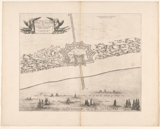
Map of Fort Mardijk, 1646
From the collection of Rijksmuseum, Amsterdam. Free to download, adapt and use — no permission needed.
About this work
Plan of the fort Mardijk near the village of Mardijk near Dunkirk, besieged and captured by the French army under Gaston, Duke of Orléans, from the Spaniards, 22 June – 9 July 1645. Off the coast a States fleet under the command of admiral Maarten Tromp. Top right a scale: Eschelle de deux cent Thoises.
Rijksmuseum, Amsterdam’s own descriptionCredit linePlattegrond van fort Mardijk, 1646. 1646. anonymous. Rijksmuseum, Amsterdam. Public domain.
Similar works
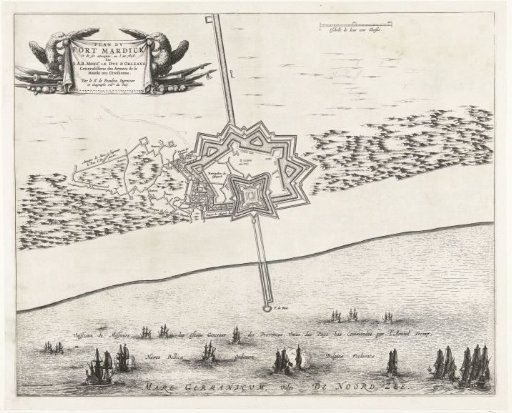 Plan of Fort Mardijk, 1646
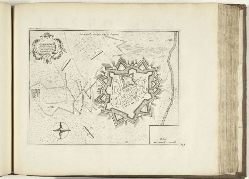 Plan of Carmagnola, 1726
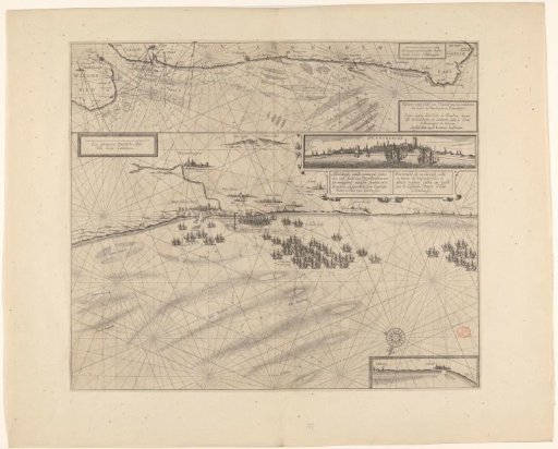 Sea chart of the coast of Flanders, from Walcheren to Calais
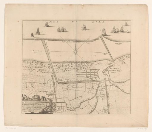 Map of the canals of Dunkirk
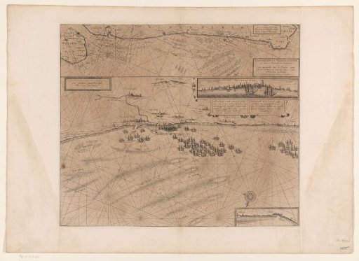 Map of the coast at Dunkirk and of the Flemish coast from Walcheren to Boulogne, 1631
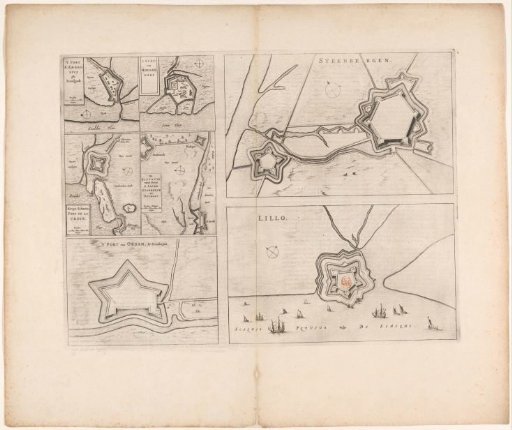 Fortress plans of Steenbergen, Fort Lillo, Fort Sint-Ambrosius, Fort Sint-Martijn, the Kruisdijkschans, Fort Sint-Jacob, Fort Stabroek, Fort van Pekgat and Fort Noordam